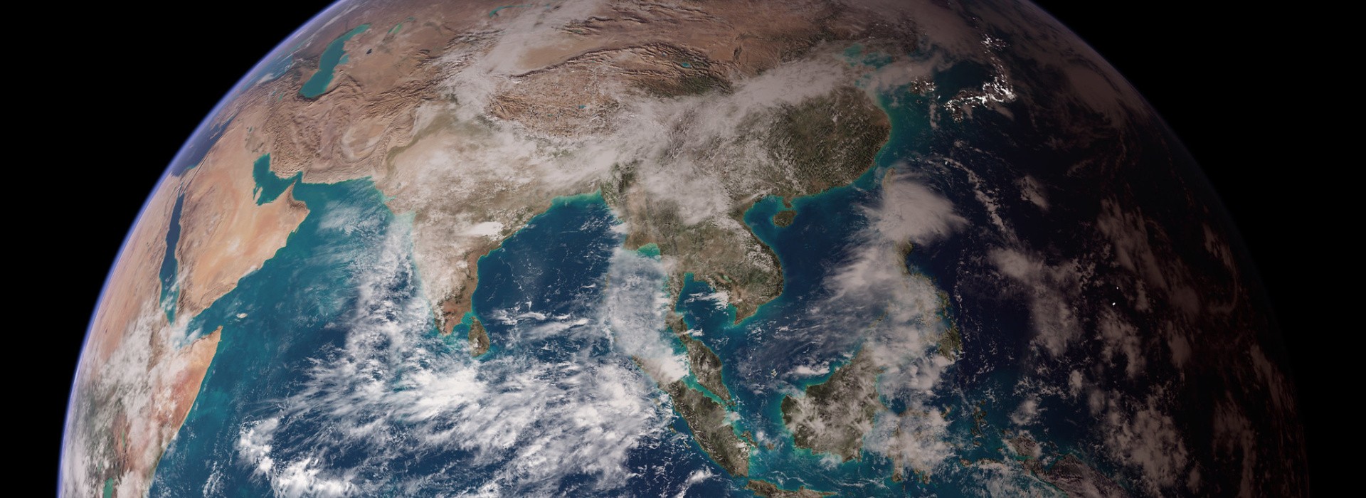
We are in a golden age for satellite Earth Observations (EO) with huge advancement in technology for imaging our planet with more details and at higher frequency than ever before. These satellite images are often available free-of-charge to the public. The speed of innovation in remote sensing applications offers growing opportunities to use EO for measuring and monitoring changes at the Earth surface.
But, what is the role that EO can play to support impact evaluation within CGIAR?
So far, there has been limited experience in using satellite images for impact evaluation, but there is definitely a growing interest. Here, I look at the context of what remote sensing can bring to the table for impact evaluation in the context of agriculture, livestock, natural resource management, and the environment.
Alternative measurements don’t exist
EO provides an option for impact evaluation where limited to no data providing direct measurements exist for measuring adoption and outcomes of an innovation. In many countries where CGIAR is actively working, there is often a lack of predictable funding for supporting continuous data collection, including for example nationally representative survey or for collecting other agricultural or environmental data. In other cases, the data sets that exist may not include relevant information about the innovation of interest. For example, if a survey does not include questions on technology adoption or its outcomes, there is not much information to work with for impact evaluation. In this context, satellite data may provide a full additional benefit if it makes the evaluation of impacts feasible. So, assuming that impact evaluation can effectively be conducted with remote sensing, integrating this data source may expand the possibilities for measuring impacts within CGIAR.
Alternative measurements are incomplete or flawed
EO can bring a welcome complement to existing data sets that are not sufficient to measure adoption and/or impacts rigorously, or data sets that are known or questioned for their quality and representativeness. For example, the most recent wave of a panel survey can include new questions about the adoption of an innovation, but these questions were not included in the previous waves. With satellite imagery, it can be possible to use the current information to build a remote sensing model, and using the same imagery from previous years, to estimate the past (or baseline) conditions. Another context when EO can be useful complement is if there are some questions about the validity of information collected through standard methods. For example, if survey respondents are asked about their use of illegal activities, e.g. crop residues burning in India, the information they provided may not be truly fair or represent the reality on the ground. There is therefore a benefit to be able to count on EO for having another measurement that may give a more objective assessment of actual conditions. There are many ways by which remote sensing data can be used as a valid and useful complement to standard methods, that may enhance the rigor of impact evaluation.
Cost-saving potential from integrating EO
There are cases when standard data collection methods are pretty good or even the gold standard, but that using EO could ultimately reduce the costs for measuring impacts at scale. This is mostly true when innovations have been adopted over large areas and that other data sources are substantially costly to use. When the standard methods are expensive and time consuming to carry out, there is a value in developing remote sensing methods for measuring impacts. Developing remote sensing methods come with its own set of costs even if satellite data are free-of-charge, including the expertise, time, and information about the ground conditions that is needed to build the model (algorithm). However, once this is developed and the performance is good enough, it has the potential to be implemented quickly and efficiently over large area and over time, with limited additional costs. The upfront investment in developing the method can be significant however, but it can ultimately generate beneficial savings by reducing the long-term costs for measuring impacts.
So, definitely, this is an exciting time for EO applications and there is a great potential for more integration of remote sensing data for impact evaluation within CGIAR, as a main method, as complement to other data collection approaches, and/or as a potential cost-saving method. It is important to highlight that using EO for impact evaluation also brings a whole new set of challenges that researchers and practitioners should be aware of before getting too excited about the prospective opportunities. The Standing Panel on Impact Assessment has just published a report on new methodological guidelines for the use of remote sensing for impact evaluation relevant to One CGIAR activities. Make sure to download it here for more information on this topic!