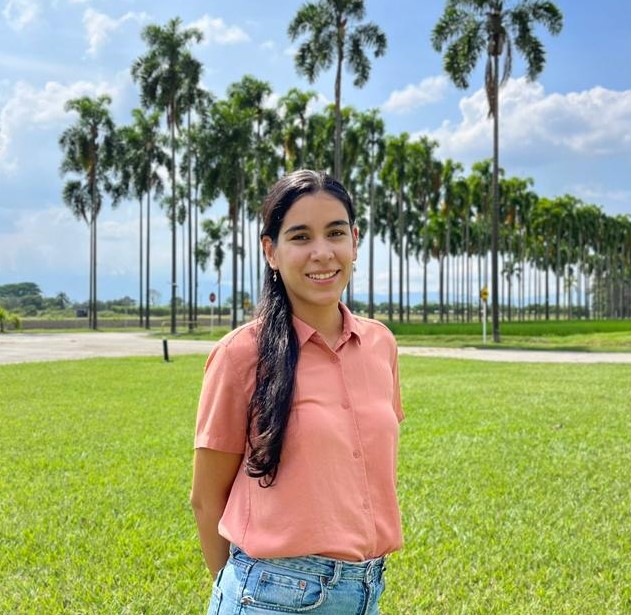
Paula is a Research Specialist with expertise in Remote Sensing and geospatial analysis. She joined SPIA in 2024 as a Remote Sensing advisor. Her research interests include monitoring land cover and land use changes using satellite imagery and Machine Learning, as well as identifying the environmental impacts of commodity sourcing to inform key stakeholders. Paula has experience working at the Alliance Bioversity and CIAT on the Terra-I project, a monitoring system for vegetation loss, where she implemented and calibrated methods for change detection, conducted field data collection, and collaborated with policymakers in Latin American countries to adopt the Terra-I method and data for national-level forest conservation. She has also been involved in engagement activities, capacity building, and training programs on geospatial information for the SERVIR Amazonia and Caribbean project. Paula’s background is in Topographic Engineering, and she is currently pursuing a Master's degree in Electronic Engineering at Universidad del Valle, Colombia, with a focus on estimating shade tree density in coffee agroforestry systems using Machine Learning and Remote Sensing techniques.

